

BERGEN COUNTY: KINGSLAND AND PART OF RUTHERFORD 1876 MAP
1876. Item #51326
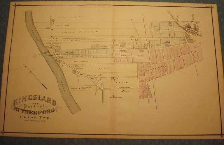
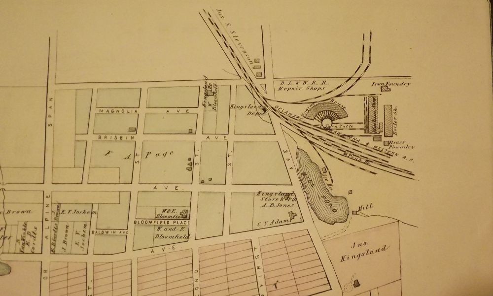
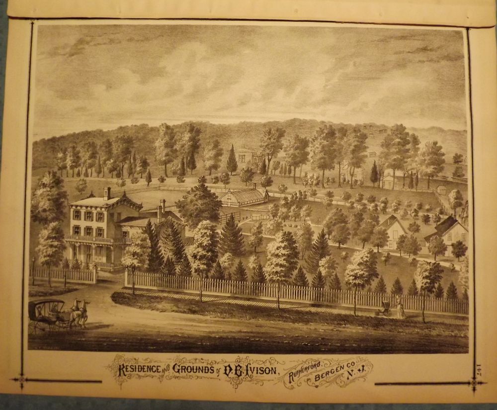
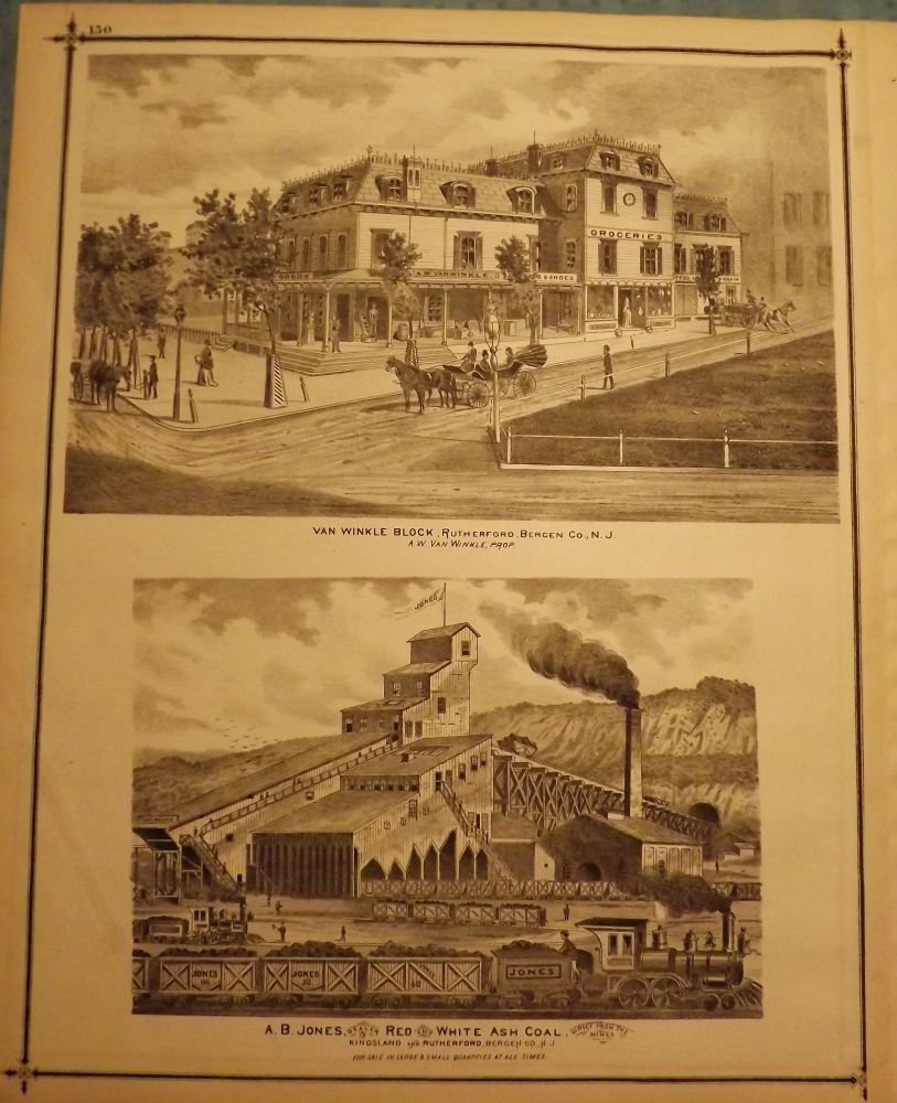
PEASE, C.C. BERGEN COUNTY: KINGSLAND AND PART OF RUTHERFORD 1876 MAP. Three prints and one map from 1876. A large hand-colored, fold-out map from the original "Atlas of Bergen County." published in Reading, Pennsylvania by C.C Pease in 1876. One side is comprised of a 27.5-inch by 17-inch, hand-colored map of Kingsland and part of Rutherford, Union Township, from the Passaic River east to Newark Avenue and Jauncey Avenue north to just above Page Avenue. The other side has three prints. One features a 14.5-inch by 17-inch print of the residence and grounds of D.B. Ivison, Rutherford, Bergen County and the other page is made up of two smaller prints each measuring 8-inches by 14.5-inches and features the Van Winkle Block in Rutherford and A.B. Jones Red and White Ash Coal Mill in Kingsland and Rutherford. Very Good. $125.00.
Price: $125.00