

BERGEN COUNTY: HACKENSACK 1876 MAP
1876. Item #51321
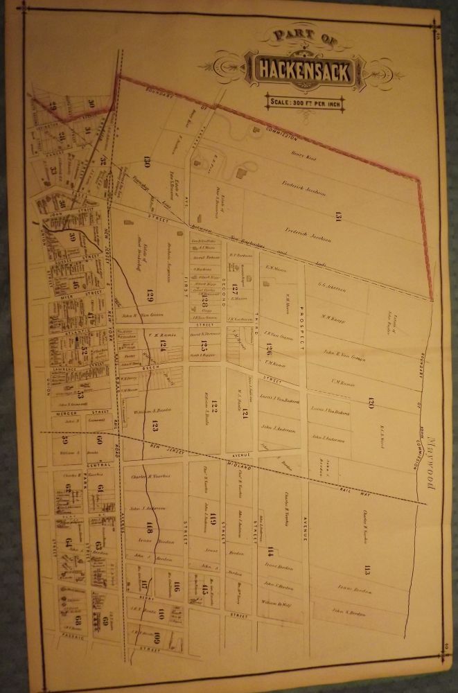
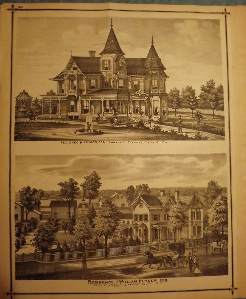
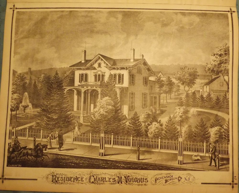
PEASE, C.C. BERGEN COUNTY: HACKENSACK 1876 MAP. Three prints and one map from 1876. A large, hand-colored, fold-out map from the original "Atlas of Bergen County" published in Reading, Pennsylvania by C.C. Pease in 1876. One side is comprised of a 27.5-inch by 17-inch hand-colored map of part of Hackensack from the Hackensack River to Union Street and Dock Street to Passaic Street. The other side has three prints: one features a 14.5-inch by 17-inch print of the Bank of Bergen County, Hackensack and the other page is made up of two smaller prints each measuring 8-inches by 14.5-inches, featuring the Hackensack Savings and First National Banks and the Residence of William Williams, Esq. Civil Engineer on State Street in Hackensack. Very Good. $125.00.
Price: $125.00